What Is 3D Landscape Rendering?
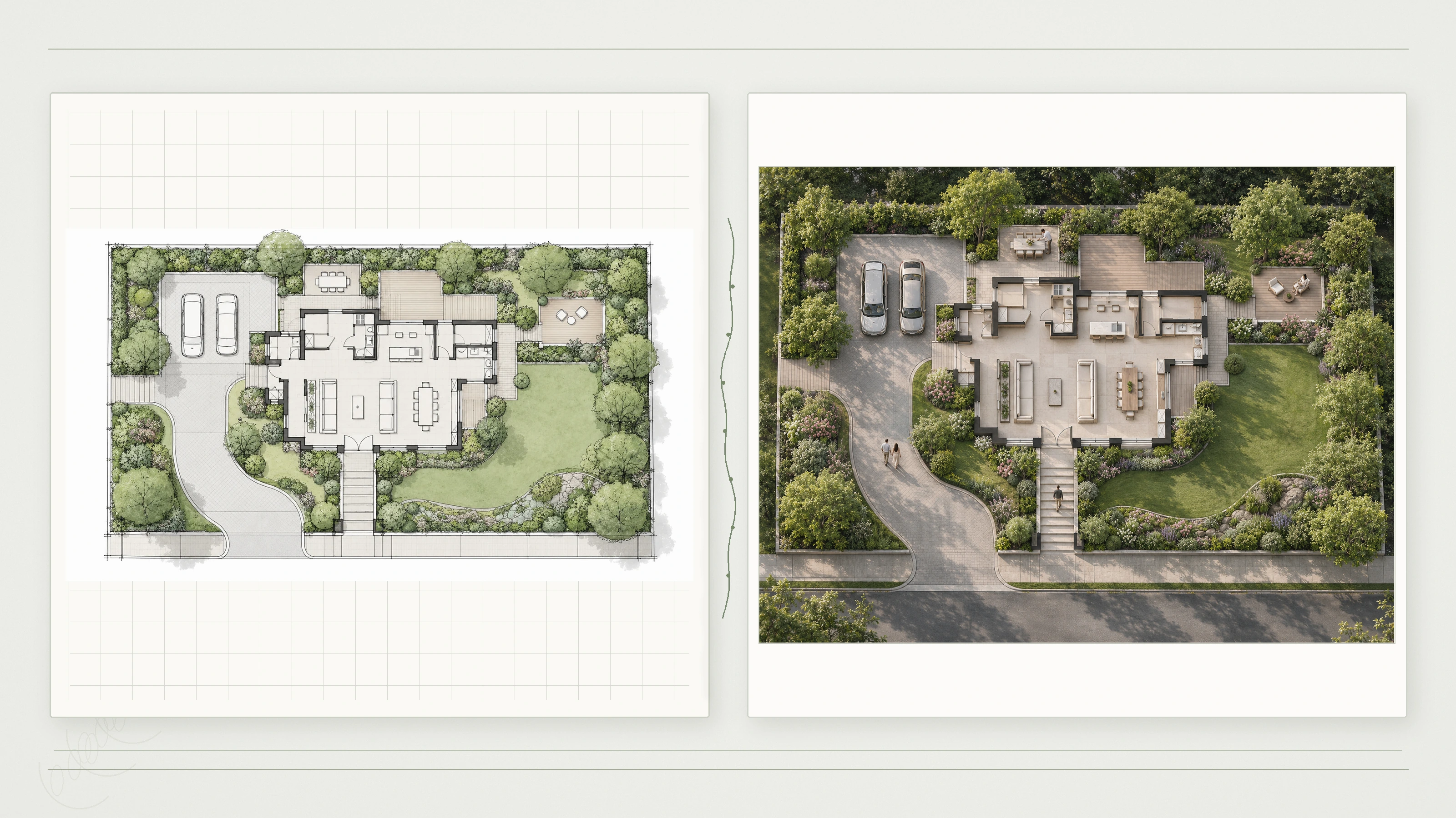
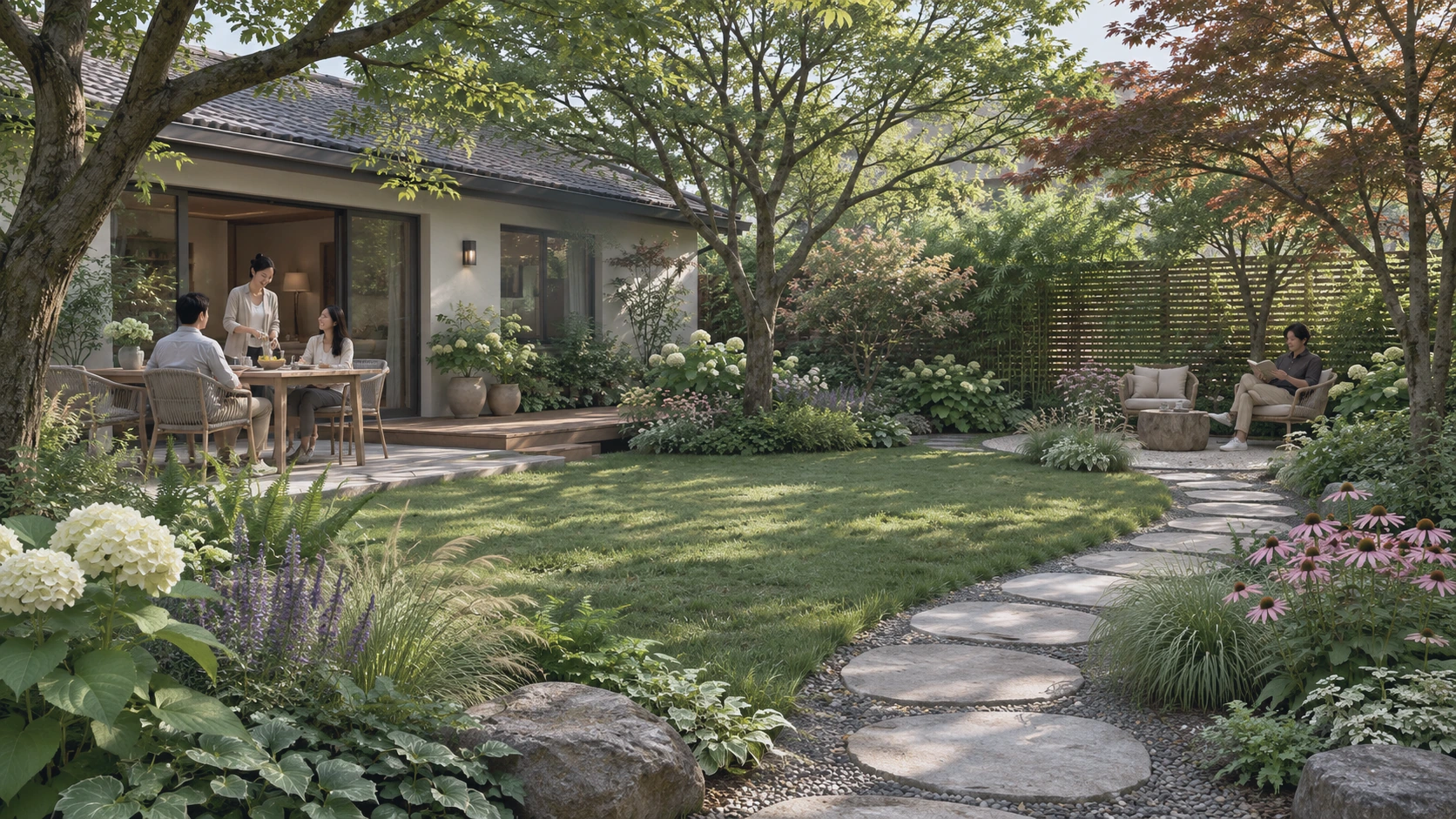
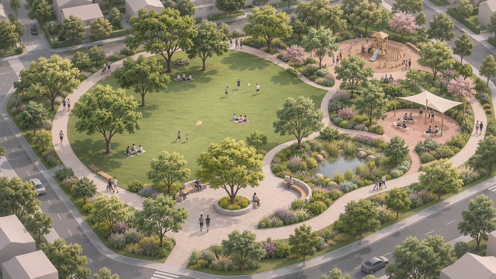
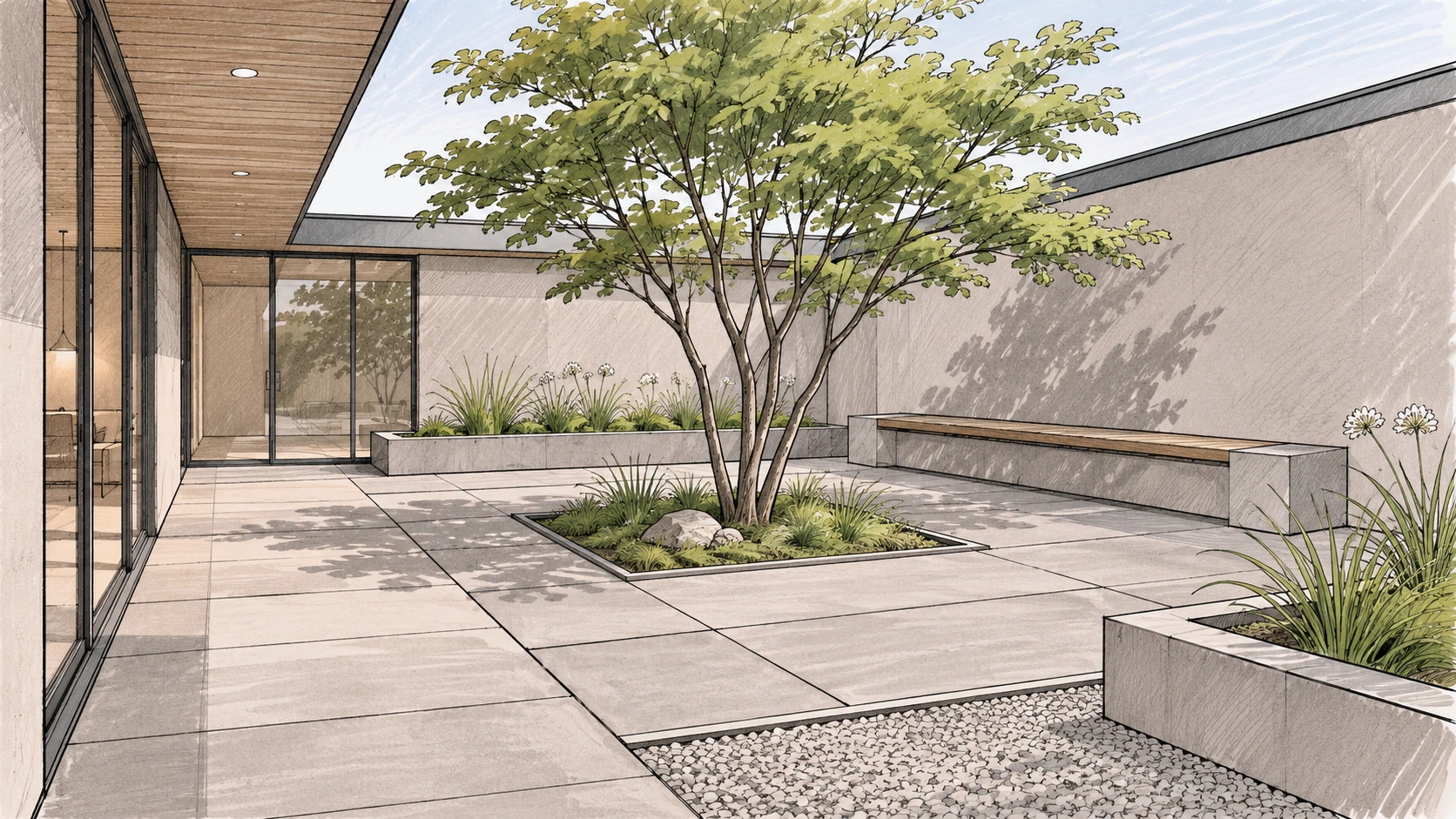
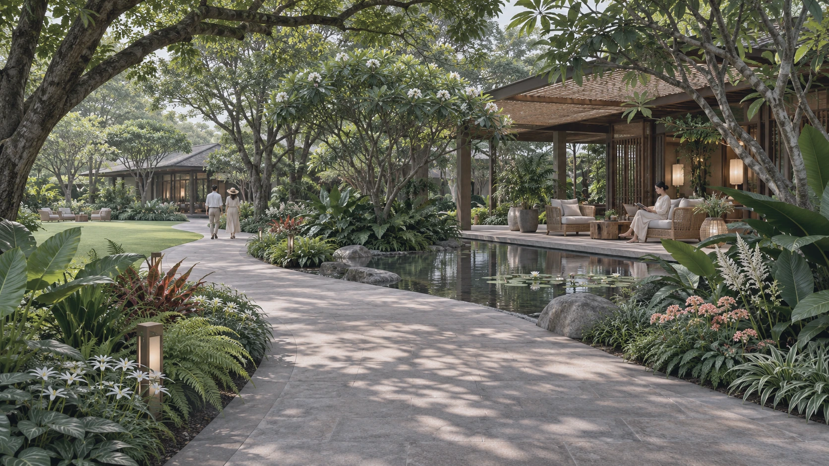
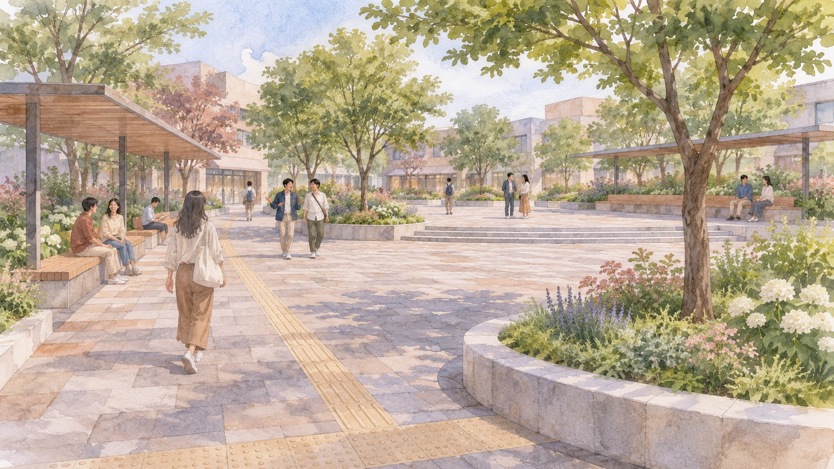
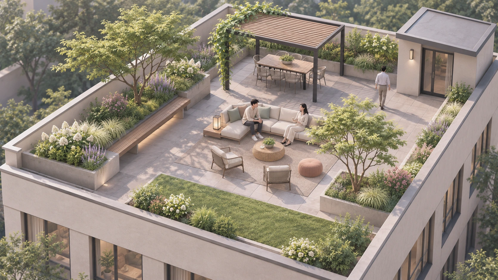
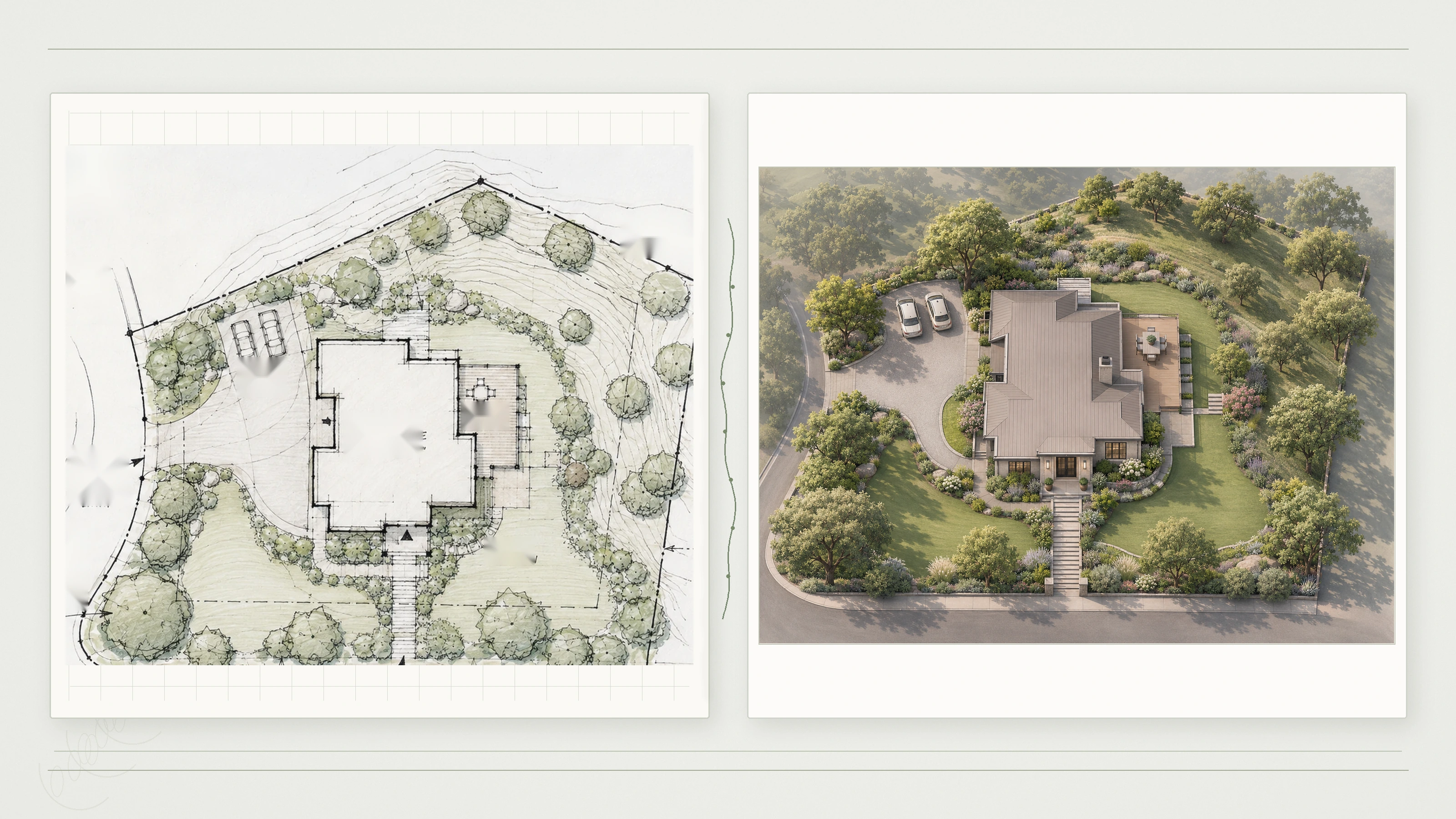
3D landscape rendering turns an existing 2D landscape plan into a 3D-looking visualization image. Instead of relying only on plan symbols and linework, you can present planting, lawns, paths, hardscape, water features and other outdoor spaces as a clearer visual scene.
Upload your landscape plan, choose an Aerial or Perspective view, adjust vegetation and people density, add optional visual direction, and generate one landscape rendering image. The uploaded plan remains the main visual reference while the controls help shape how the landscape is presented.
This workflow is specifically designed for landscape visualization. The focus is the visual character and experience of the outdoor environment rather than the organization of an entire development site.
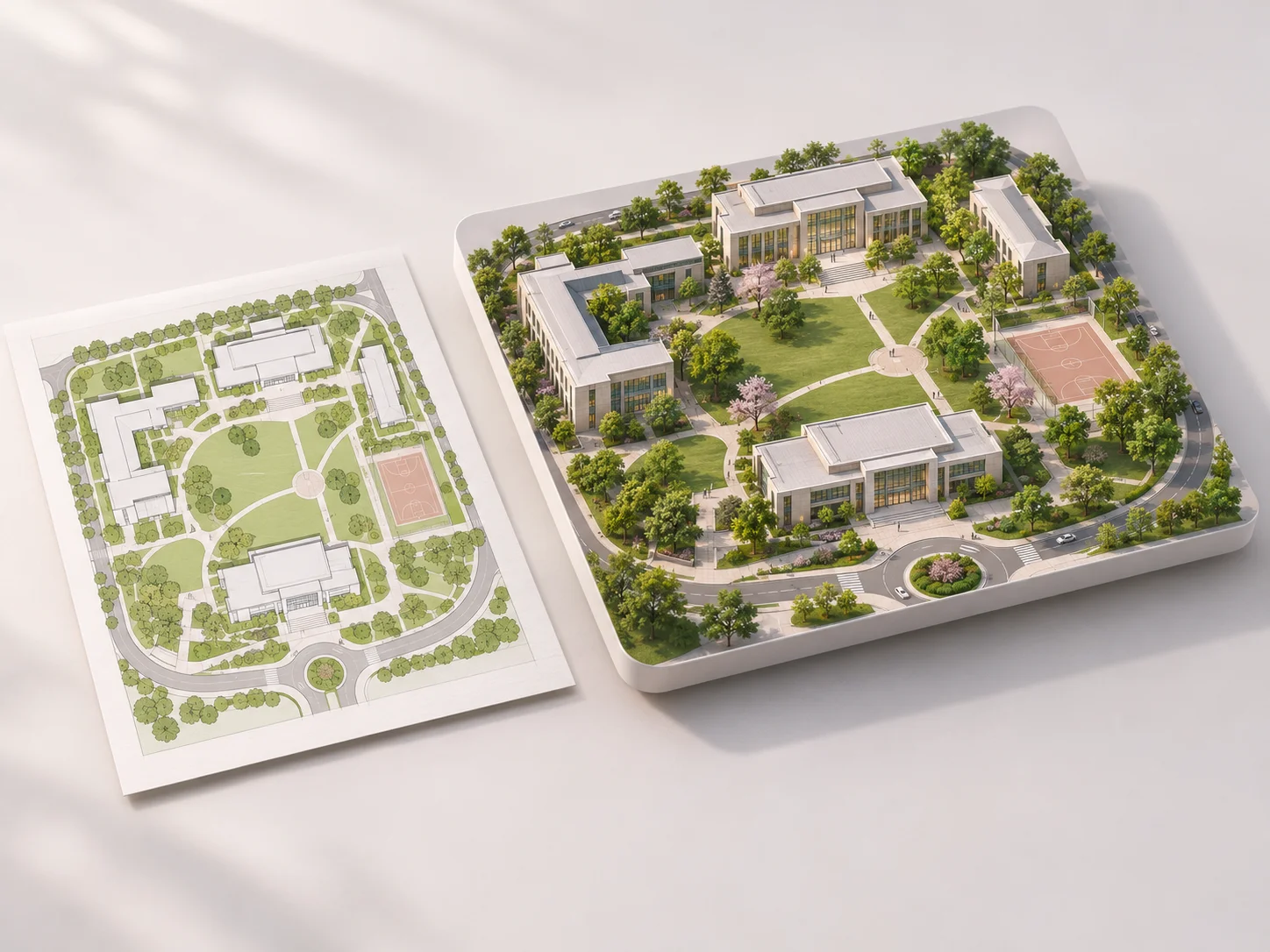
If buildings, roads, parking, access and overall site relationships are the main subject, use 3D Site Plan Rendering instead.
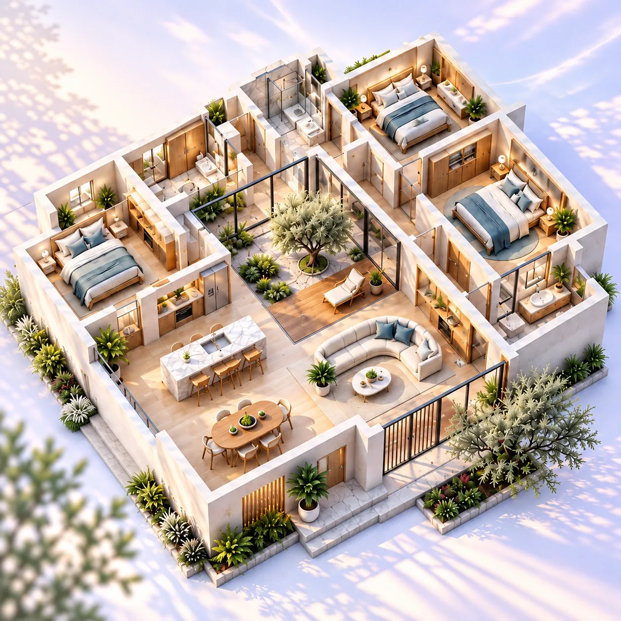
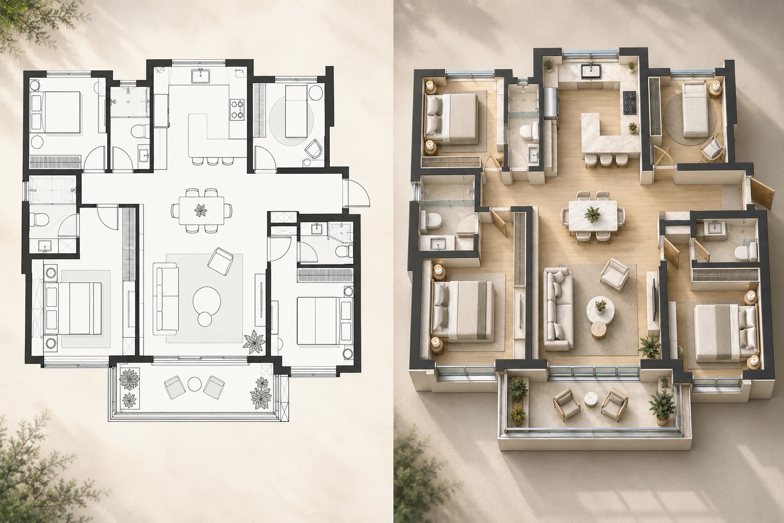
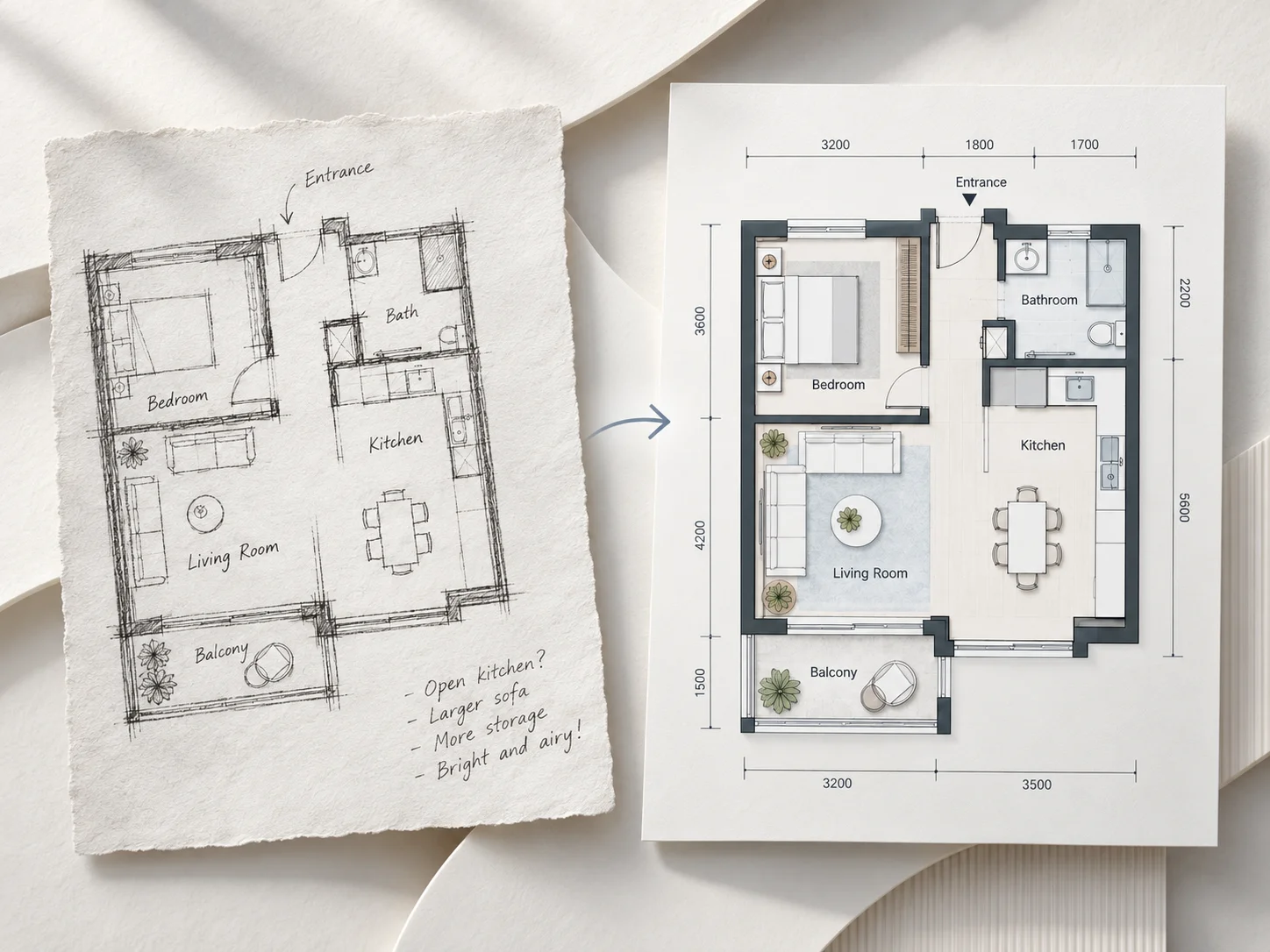
If you want to visualize a building floor plan and its interior spatial layout, use Floor Plan to 3D for the more suitable workflow.
The result is a rendered visualization image rather than an editable 3D model.